Le Cinque Terre
Manarola
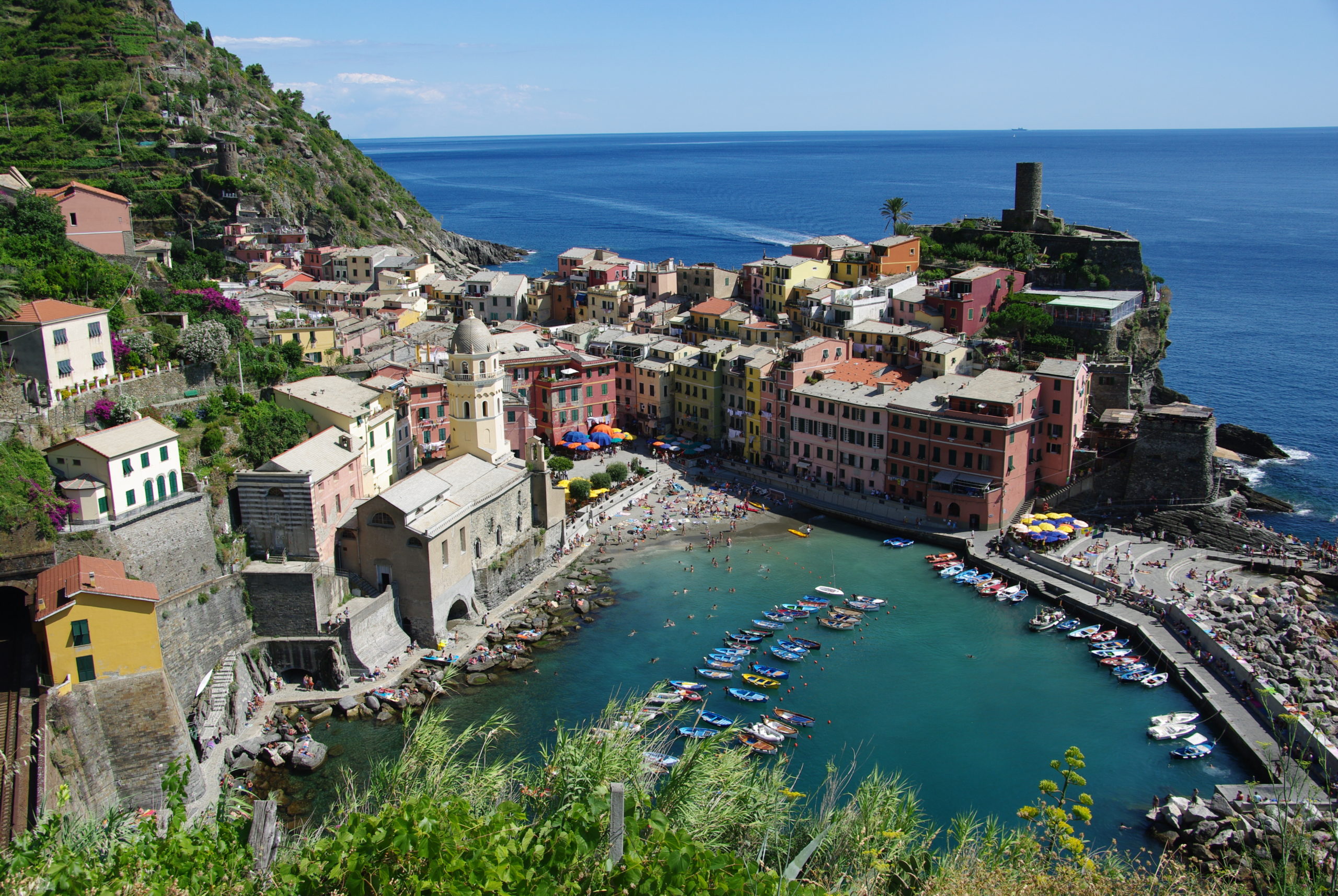
Manarola was built because the displacement of population (that moved from the Val di Vara to the sea) to exploit its resources. Its name derives, perhaps, from the Latin Manium arula: “small temple dedicated to the Mani”.
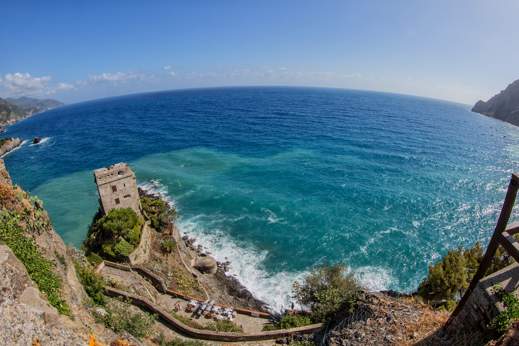
Located on a promontory high above the sea, the village develops in the gorge that descends towards the sea, closed between two rocky spurs, hosting a small landing place. Among the five villages is the smallest after Corniglia.
The village is located in the terminal stretch of the Groppo torrent valley. The houses face one another close to the other on the main road, built following the cover of the river and therefore called by the inhabitants U Canâ (Canal).
Footpaths
There are two main paths that reach and cross the Cinque Terre territory, both marked by the La Spezia section of the CAI.
From the ridge path you can reach the villages of the 5 Terre through one of the transversals that descend towards the sea following the secondary ridges or the valleys delimited by them. The most important ones, from west to east, are the paths n °: 9, 8, 7, 6, 2, 1, 3.
The first is the ridge path number 1, known as Alta via delle Cinque Terre. This ancient mule track runs along the watershed that separates the Cinque Terre coast from the Val di Vara and is a secondary branch of the Alta via dei Monti Liguri, which connects to Mount Zatta.
Then there is the coastal path number 2, known as Sentiero azzurro, which connects Levanto to Porto Venere crossing all the villages of the Cinque Terre and taking in the stretch between Riomaggiore and Manarola the famous name of via dell’Amore.
Currently to enter the path number 2 you need to buy a day ticket or a park card called Carta Cinque Terre that combines the entrance to the Park with the use of regional trains to and from La Spezia Centrale / Levanto.


